


Bacalar
Float - Relax - Repeat
Bacalar
The Pueblo Mágico of the Lagoon of Seven Colors.
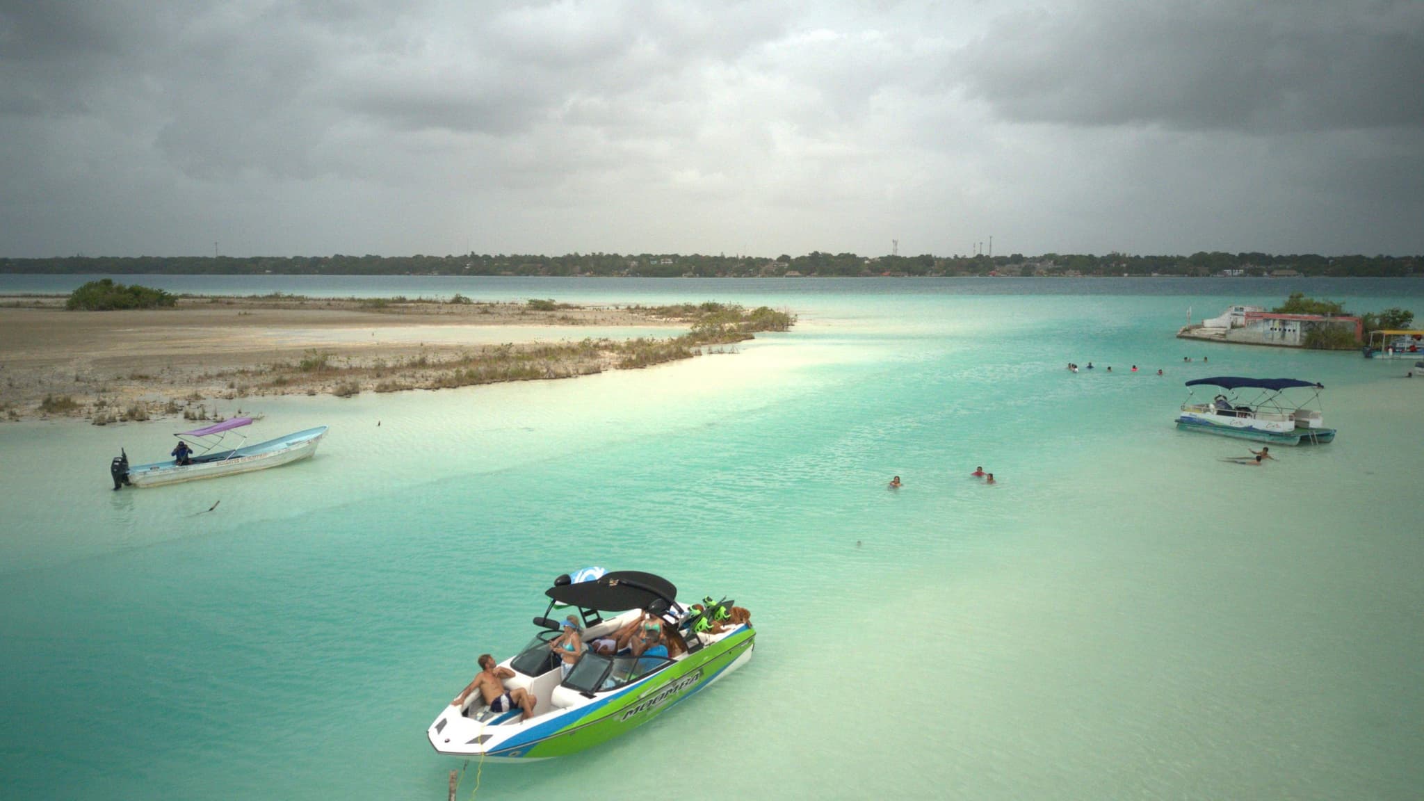
Bacalar is a Pueblo Mágico half an hour from Chetumal, on the shore of the Lagoon of Seven Colors, a freshwater lagoon whose shades of blue change with depth and light.
Around it are cenotes, the Pirates' Canal with its stromatolites, the San Felipe Fort turned museum and, an hour away or less, Chacchoben, Dzibanché and Kohunlich.
- Right now
- 26°Cloudy
- Best for
- Sailing, swimming and resting
- When to come
- All year round; the most pleasant weather from November to May
- Stromatolites
- In the Pirates' Canal and Cocalitos
Getting here
Airport
Maya Train
Bus
Bacalar in motion
The lagoon
Explore the lagoon by kayak, sailboat or pontoon
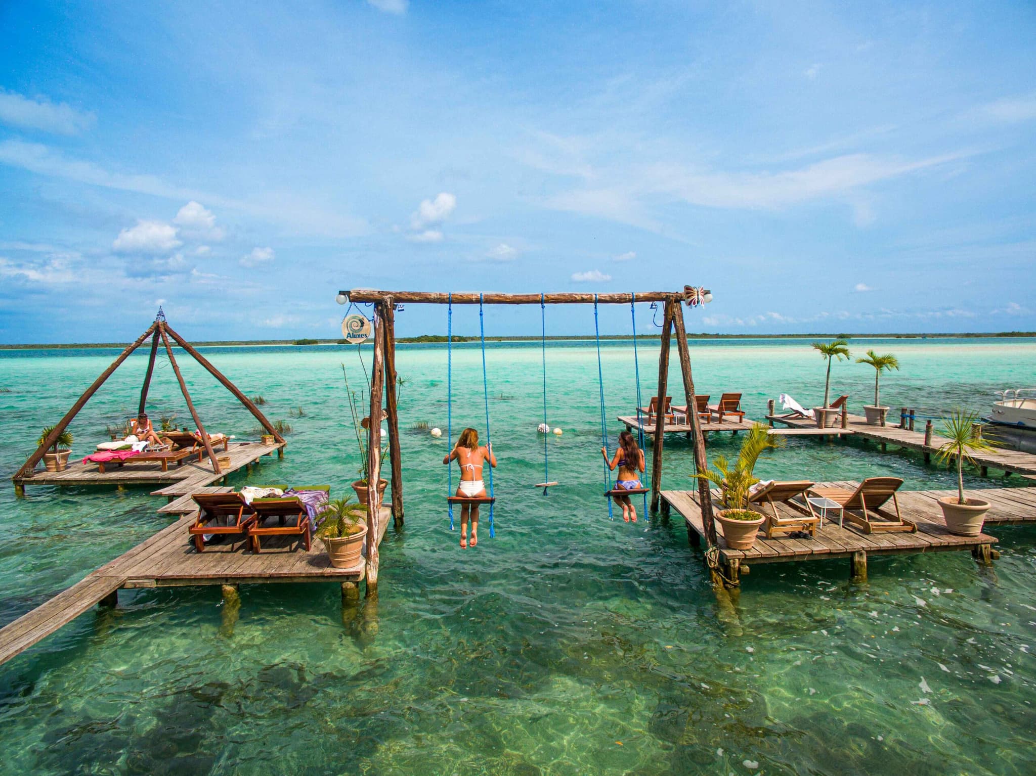
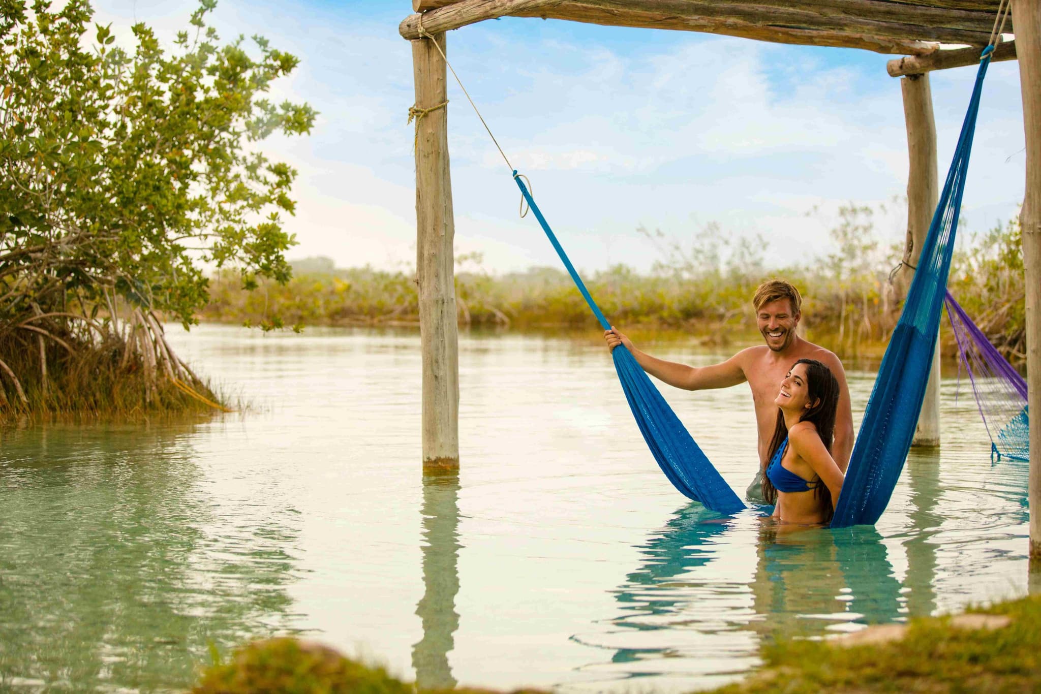
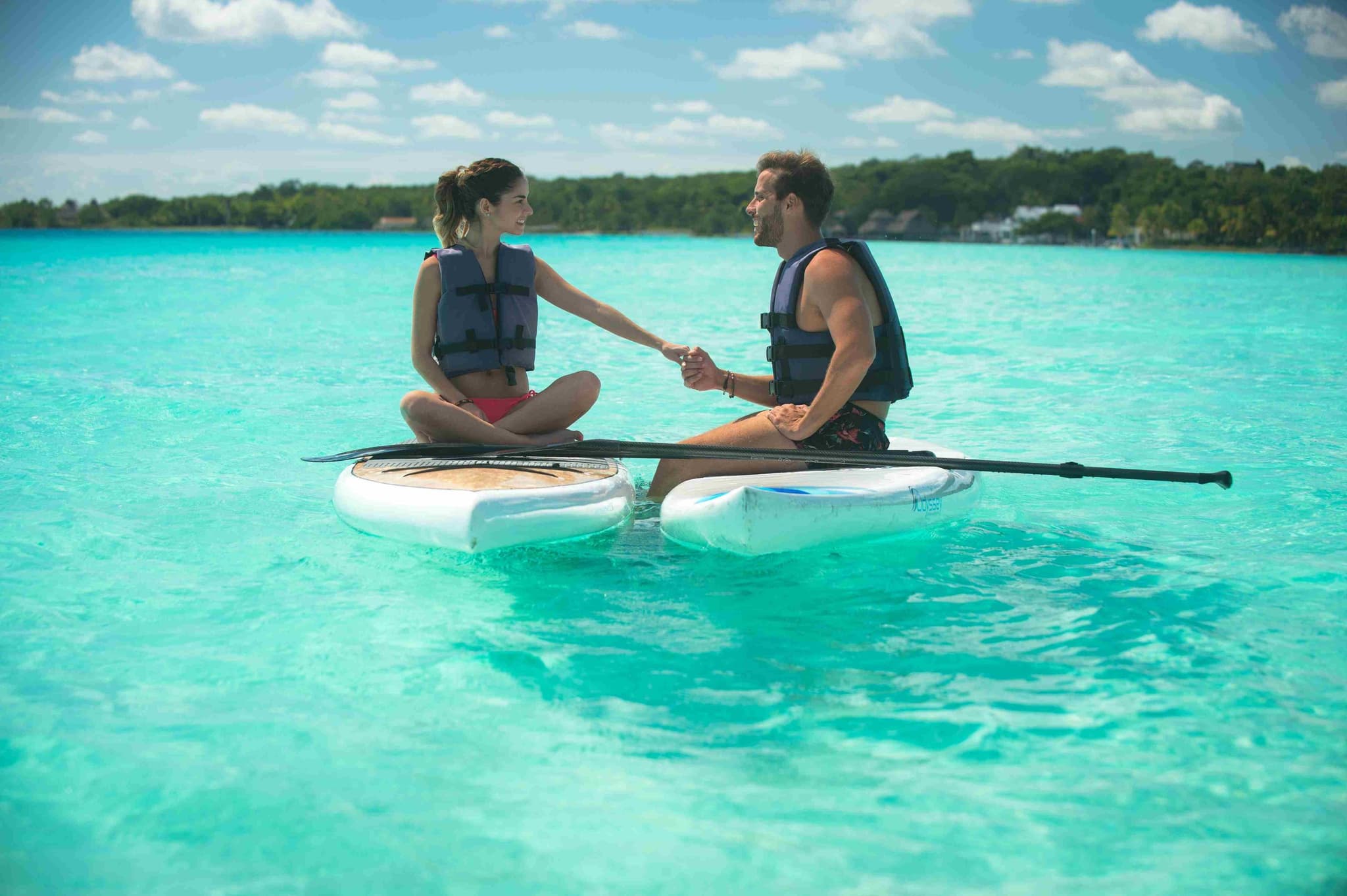
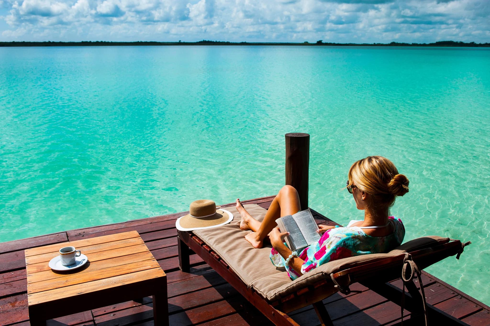
The lagoon is explored by kayak, sailboat, paddleboard or pontoon, and from its wooden docks; in the morning the water is stiller and the color shifts with the light. At the Rapids, which join it to the Xul-Há lagoon and the Hondo River, the current does the work.
Cenotes and canals
Cenote Azul, Cocalitos and the Pirates' Canal
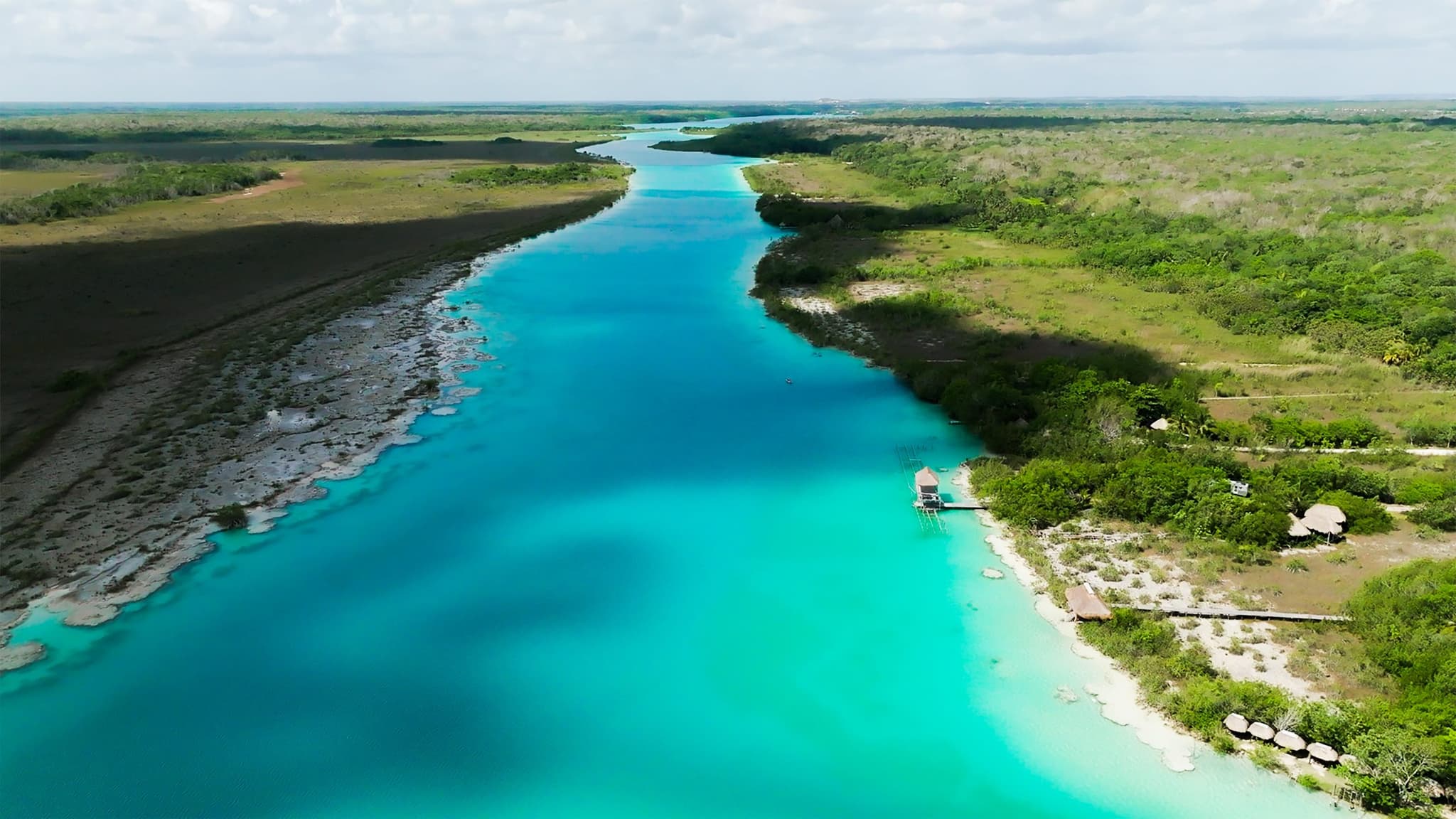
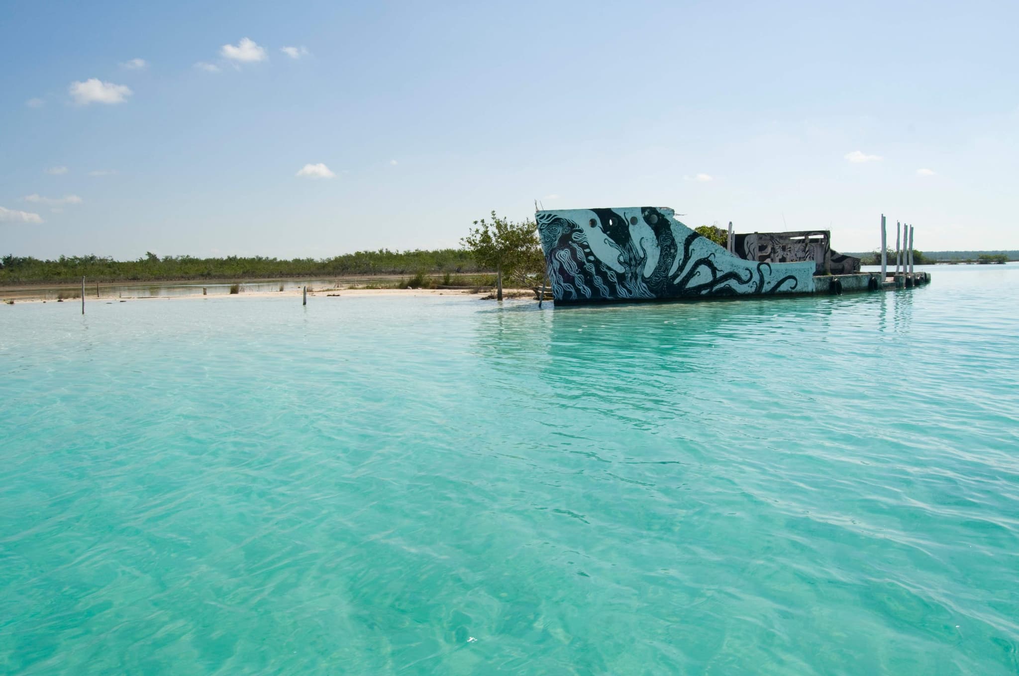
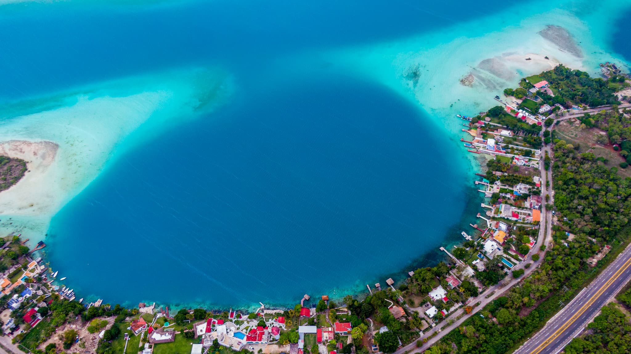
Inside the lagoon are the Negro and Esmeralda cenotes, Cocalitos and Isla de los Pájaros, with herons, parrots and hawks; outside, Cenote Azul, open and deep. The Pirates' Canal, the Estero de Chac, joins the lagoon to the Hondo River, and its shores are home to stromatolites, among the oldest life forms on the planet.
Maya heritage
Chacchoben, Dzibanché and Kohunlich, an hour or less away
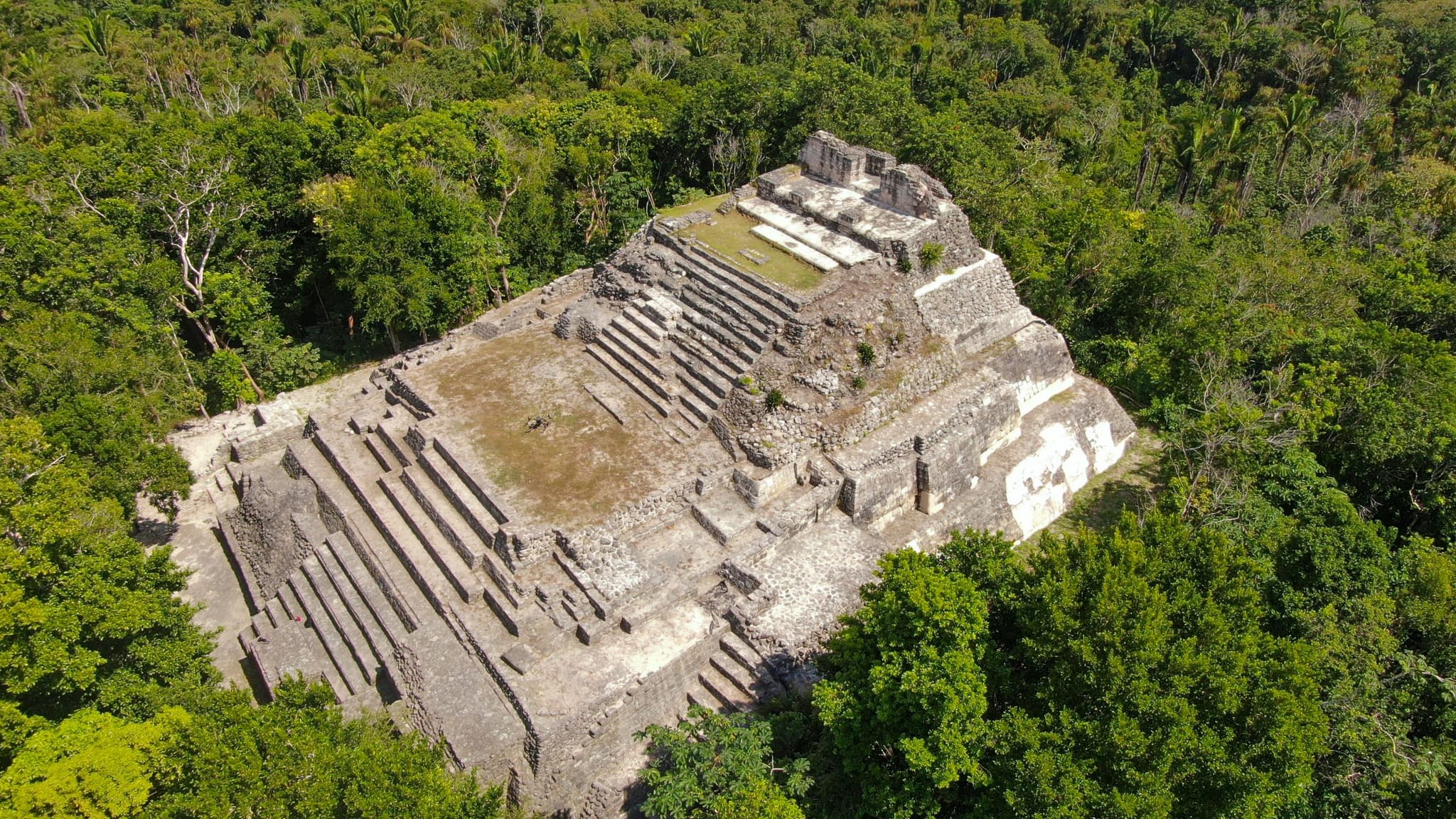
Chacchoben, Dzibanché, Kohunlich and Ichkabal are an hour away or less: archaeological sites wrapped in jungle, with pyramids that rise above the canopy.
The town
The square, the fort and the cabins over the lagoon
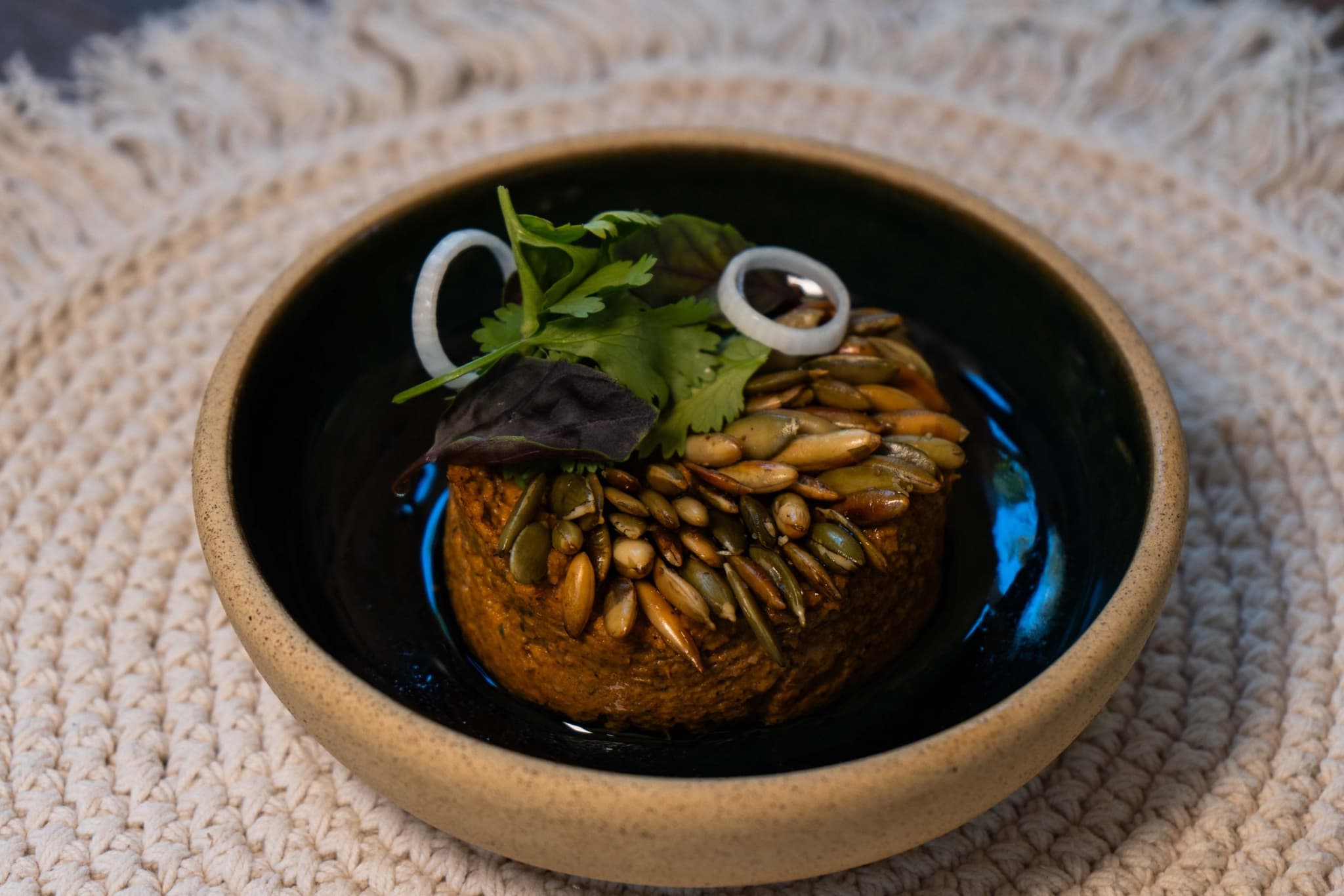
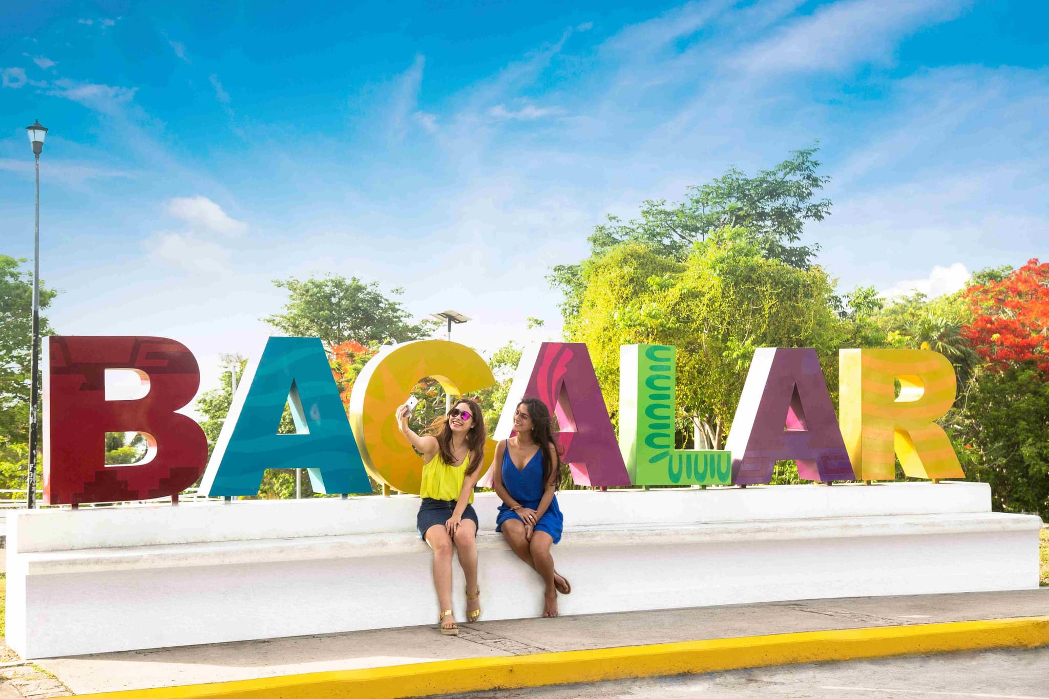
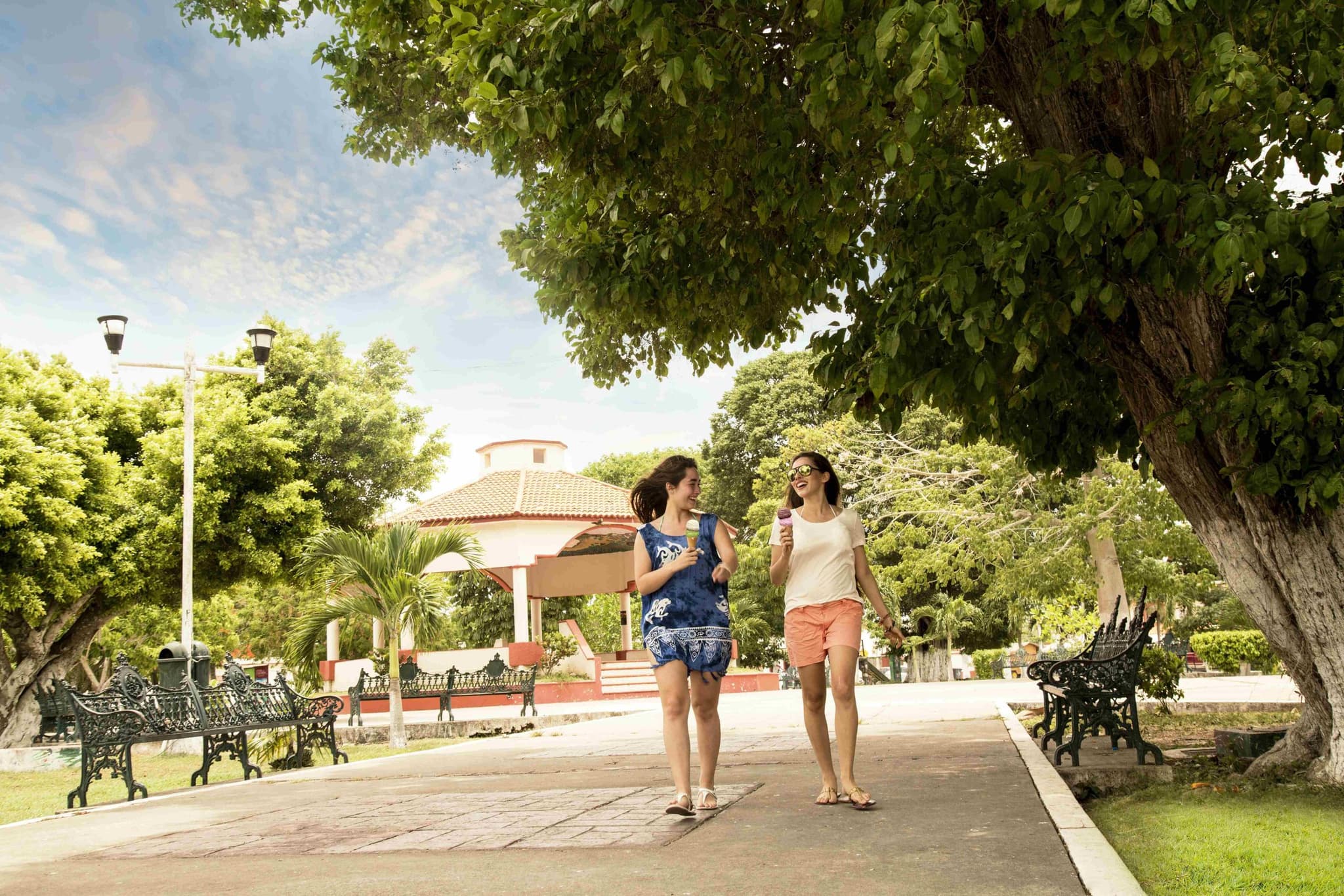
On the main square, by the fort, the San Joaquín church and the Bacalar letters, are the seafood restaurants, taquerías and craft stalls in ziricote and mahogany; the town is covered on foot or by bike. To stay, small hotels downtown and cabins and palafitos over the lagoon, some with a spa on the water.
History
San Felipe Fort and the dyewood pirates
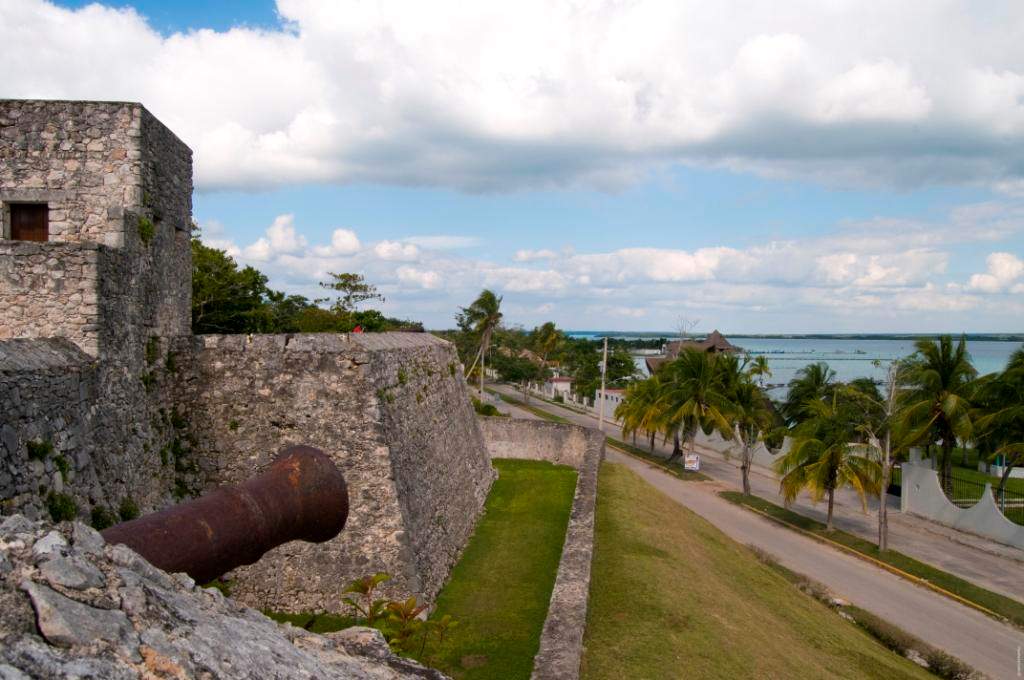
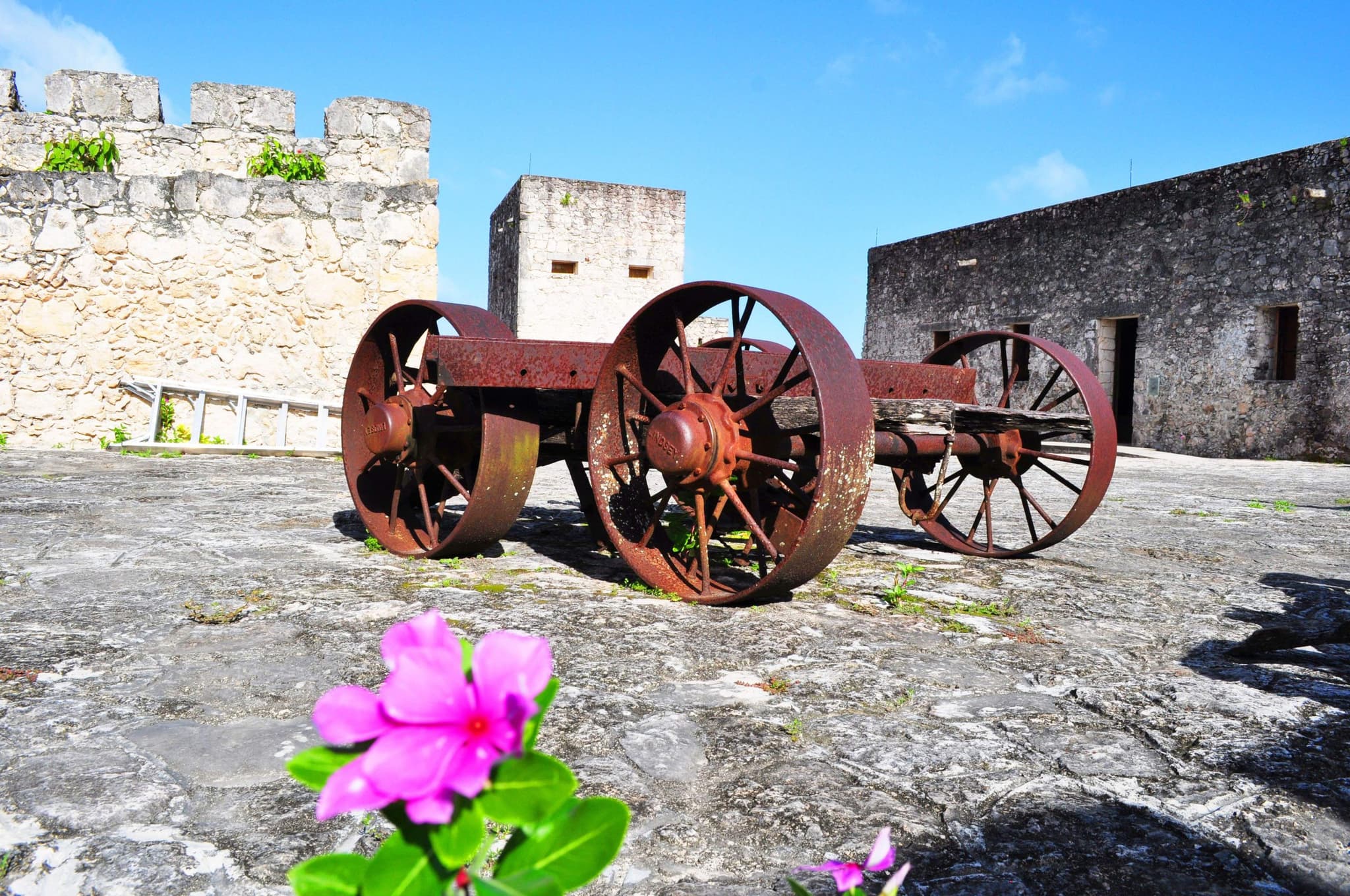
The Maya called this place Bakhalal, "place of reeds"; the Spanish founded the town in the 16th century and, against English, French and Dutch pirates after dyewood, raised the San Felipe Fort in the 18th. Today the fort houses the Piracy Museum, with weapons, maps and ship models, and looks over the lagoon.

Discover the south
Discover experiences, accommodations, local cuisine, transportation, and everything you need to plan your journey through the southern Mexican Caribbean.
Bacalar gallery
More about Bacalar
June 16, 2026
Discover the Magic of the Southern Mexican Caribbean
Bacalar, Chetumal and Mahahual: a guide to the southern Mexican Caribbean, from the Lagoon of Seven Colors to the Mesoamerican Reef and Banco Chinchorro.
Read the article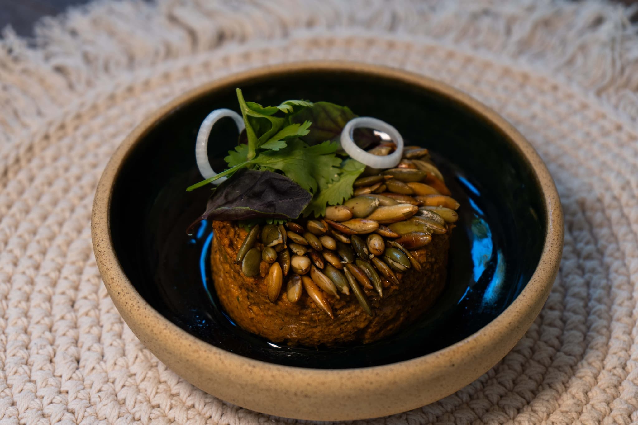
September 29, 2024
Bacalar: A Fusion of Flavors Beyond the Lagoon
Discover the flavors and culinary scene of Bacalar: international fusion, modern seafood, artisanal bakeries and Yucatecan roots by the lagoon.
Read the article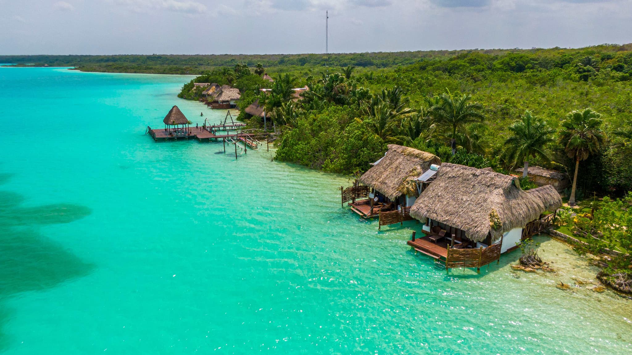
September 29, 2024
The Lagoon of Seven Colors in Bacalar
Discover Bacalar's Lagoon of Seven Colors: crystal-clear water in every shade of blue, cenotes, the Pirates' Canal, kayaking and a slower pace.
Read the article- Fri31°24°
Follow us on Instagram