


Puerto Morelos
Explore - Try - Connect
Puerto Morelos
A fishing village facing the reef.
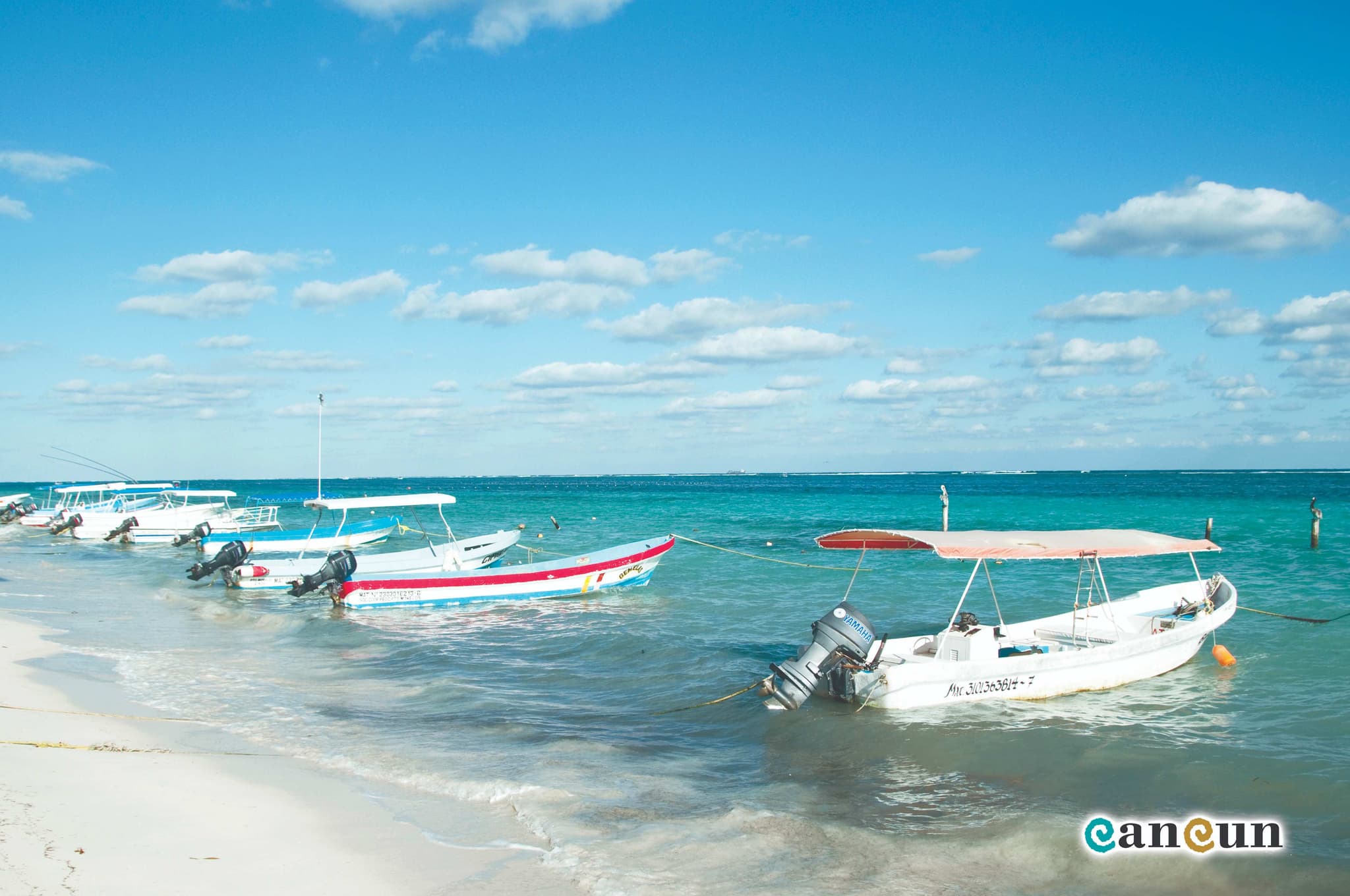
Puerto Morelos has a square, a leaning lighthouse, cafés and boats that go out to fish every morning; it is twenty minutes from Cancun airport and half an hour from Playa del Carmen.
Facing the town, the Puerto Morelos Reef National Park protects the stretch of the Mesoamerican Reef closest to shore; the Cenotes Route begins just inland.
- Right now
- 26°Partly cloudy
- Best for
- Snorkeling, cenotes and the catch of the day
- Turtle nesting season
- May to September
- When to come
- All year round; the most pleasant weather from December to April
Getting here
Airport
Maya Train
Bus
National park
The reef closest to shore in the Mexican Caribbean
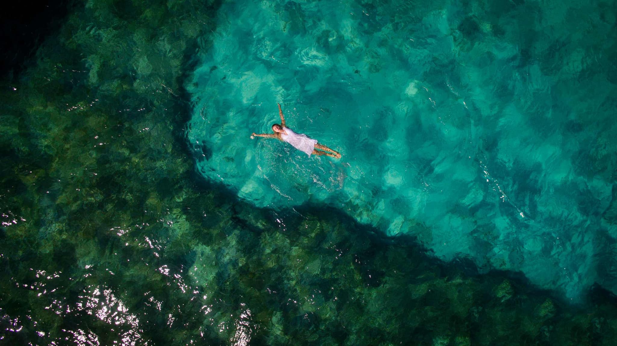
The reef is part of the Mesoamerican Reef, the second largest in the world, and here it runs closer to shore than anywhere else in the Mexican Caribbean: it works as a natural breakwater, so the sea is calm at the beach. It is visited with guides from the town, in small groups and under the park's rules; snorkeling and diving leave from the pier and reach the reef in minutes, at sites like La Herradura, La Pared, Cuevones, Jardines and the Juan Escutia C-56 wreck.
Cenotes and jungle
The Cenotes Route and the Botanical Garden
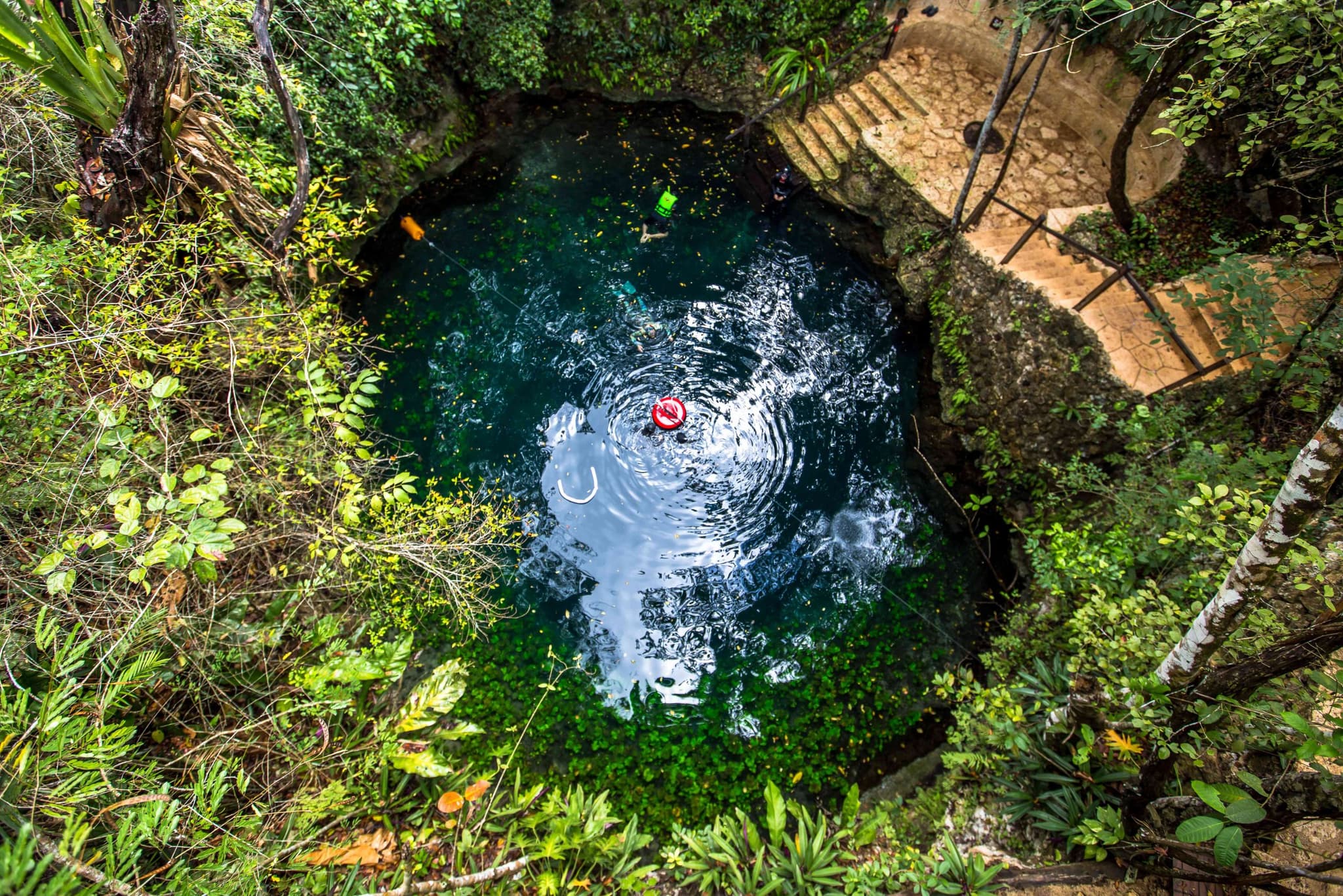
The Cenotes Route leaves town for the jungle, with dozens of open, semi-open and cavern cenotes, like Zapote, Siete Bocas, Kin Ha, La Noria, Las Mojarras and Verde Lucero, and adventure parks with zip lines, rappelling, mountain biking, ATVs, horseback riding and bird watching. At the entrance to town, the Dr. Alfredo Barrera Marín Botanical Garden gathers the flora of the coastal jungle, with trails through the mangroves, a Maya house and a stingless-bee apiary.
The town
The square, the pier and the leaning lighthouse
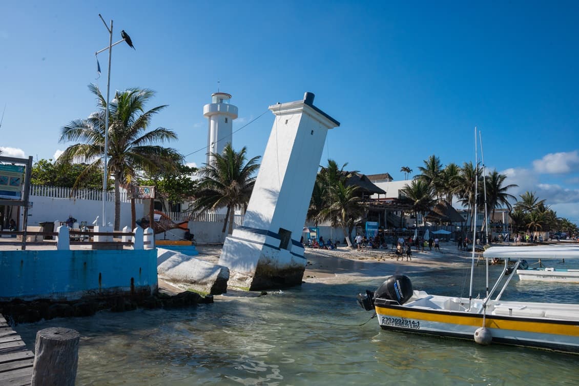
The town is small enough to explore on foot or by bike. The old lighthouse, tilted since Hurricane Beulah, stands on the main beach by the pier and is the town's symbol. Around the square there are seafood restaurants with the catch of the day, snack stands, cafés and seaside bars with live music; a few blocks away, the Mercado de los Artesanos craft market.
The beaches
Calm water thanks to the reef
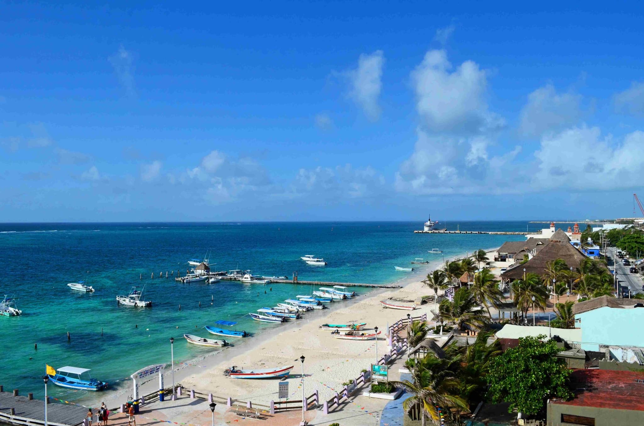
With the reef as a breakwater, the sea reaches the main beach, Ojo de Agua and Punta Brava without surf: kayaking, windsurfing, paddleboarding and catamaran trips leave from the shore, and there are beach clubs along the coast. Sea turtles nest from May to September.
More about Puerto Morelos
September 29, 2024
10 Things to Do in Puerto Morelos
The top 10 things to do in Puerto Morelos: snorkel the Mesoamerican Reef, explore the Cenotes Route, visit the botanical garden and relax on quiet beaches.
Read the article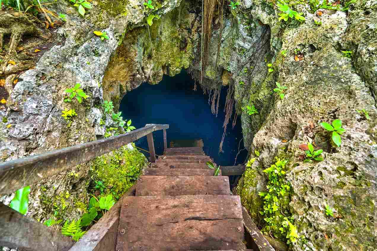
September 29, 2024
Explore the Cenotes Route of Puerto Morelos
Explore the Cenotes Route of Puerto Morelos: seven jungle cenotes for swimming, snorkeling, diving and zip lines, a short drive from the coast.
Read the article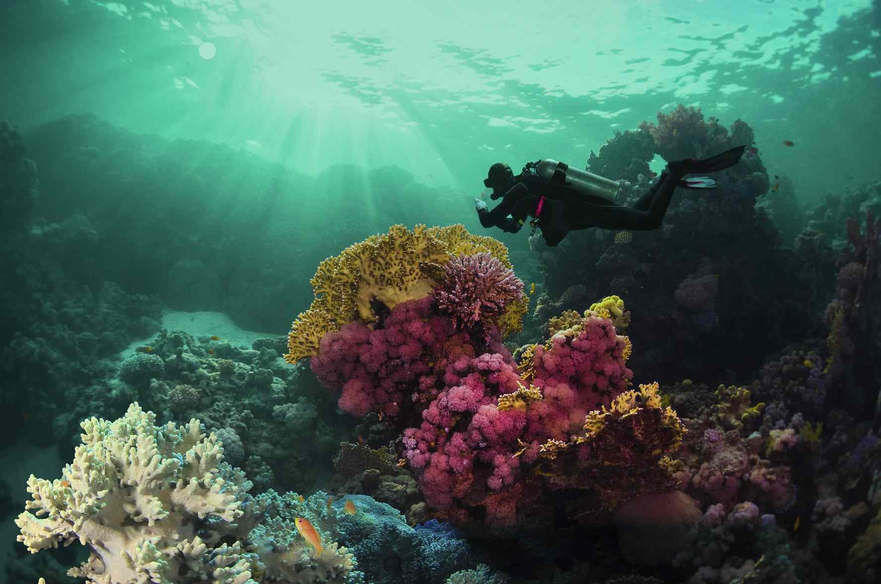
September 29, 2024
The Beaches of Puerto Morelos
The beaches of Puerto Morelos: the main beach, Ojo de Agua, Punta Brava, Petempich and more, with calm reef-sheltered water and relaxed beach clubs.
Read the article- Fri29°25°
Follow us on Instagram